Where did I see that? Eye Tracking & GPS
TIP
Trying to find that moment when a participant reaches a key landmark, like an intersection or the summit of a hill, and visualize how their head and gaze were oriented at this moment in time? Now, you can see a bird's eye view of these data, and simply click on a map to jump to that point in the recording. Expand your insights from Neon with GPS!
Combine GPS Position Data with Neon Recordings
Neon lets you easily measure combined head and eye movements—but that's not all! The Companion Device also comes with an onboard GPS.
Here, we show you how to merge GPS positioning data (from the Companion Device or another GPS device) with Neon's gaze and IMU readings. This allows you to track where participants move in the real world, in addition to where they direct their gaze and head.
We provide a visualization tool to plot these datastreams onto a map for easy review. For example, you might want to know where a participant was looking when approaching a street intersection or as they jog past a key point on each lap of a race. Rather than searching for the appropriate segment in the recorded video, with this guide, you can simply click on the map and jump right to it!
We also provide automatically reverse-geocoded GPS Events. Participants can tap a button on the phone to save an Event in the Neon recording that corresponds to their current location. This makes it more natural for participants to mark when they have reached key landmarks, like street intersections, without needing to follow a predefined route.
Steps to recreate
Recording the data
If you are using your own GPS device, then you can skip to the GPS Data Format section below. Otherwise, to get you up & running, we have developed a small Android app that runs in tandem with the Neon Companion app. When the app is installed on the same phone, you can use it to start & stop a GPS recording in parallel. Within the app, simply tap a button to send a GPS Event to Neon.
GPS Data Format
If using data from another GPS device, first be sure to temporally synchronize it with Neon. When using the GPS app, there is no need for any post-hoc time synchronization.
The GPS CSV file only needs the following columns:
timestamp [ns], latitude, longitudeThis is the same format that is used by the GPS app.
Visualize your data on a map
Once you've made your recording, you can now load the GPS data and corresponding Neon recording into the visualization tool. Just follow the steps at the Github repository.
Taken together, the GPS app and visualization tool expand the capabilities of a standard Neon bundle, with the visualization tool providing a user interface that simplifies post-hoc review of Neon + GPS recordings. The tools add a new data stream to your studies of human behaviour and can be used with other GPS devices, if you prefer.
Feel free to share your fun & inspiring routes in the #show-and-tell channel on our Discord server!
TIP
Need assistance with the GPS app? Or, having trouble loading your GPS data into the visualization tool? Reach out to us via email at info@pupil-labs.com, on our Discord server, or visit our Support Page for dedicated support options.
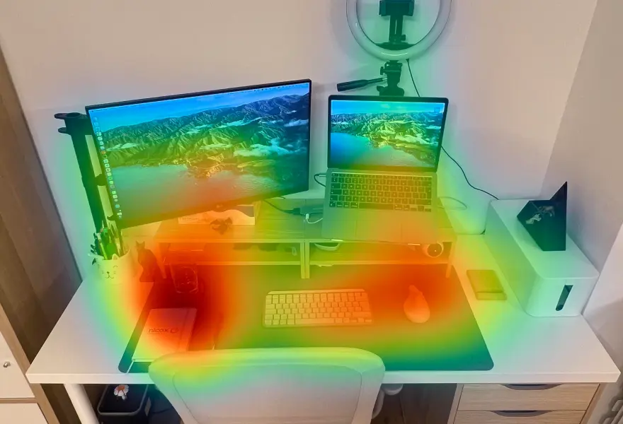
Map Gaze Throughout an Entire Room
Use Pupil Cloud's Reference Image Mapper to Map gaze onto multiple areas of an entire room as participants freely navigate around it.
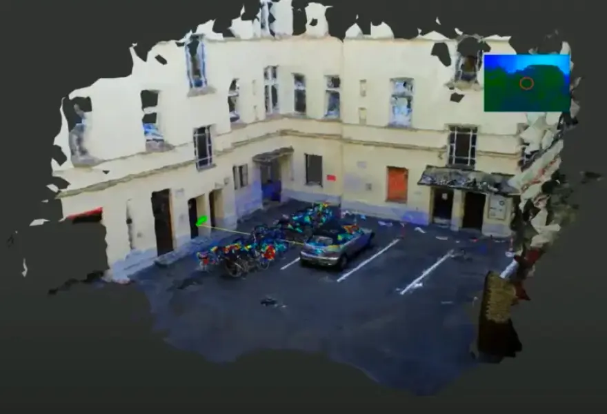
Map Gaze Onto a 3D Model of an Environment
Map gaze onto a 3D model of an environment and visualise gaze patterns as 3D heatmaps using Pupil Cloud's Reference Image Mapper and Nerfstudio.
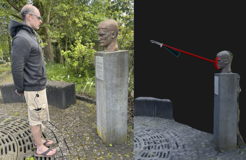
Map Gaze Into a User-Supplied 3D Model
Map gaze, head pose, and observer position into a 3D coordinate system of your choice using our Tag Aligner tool.